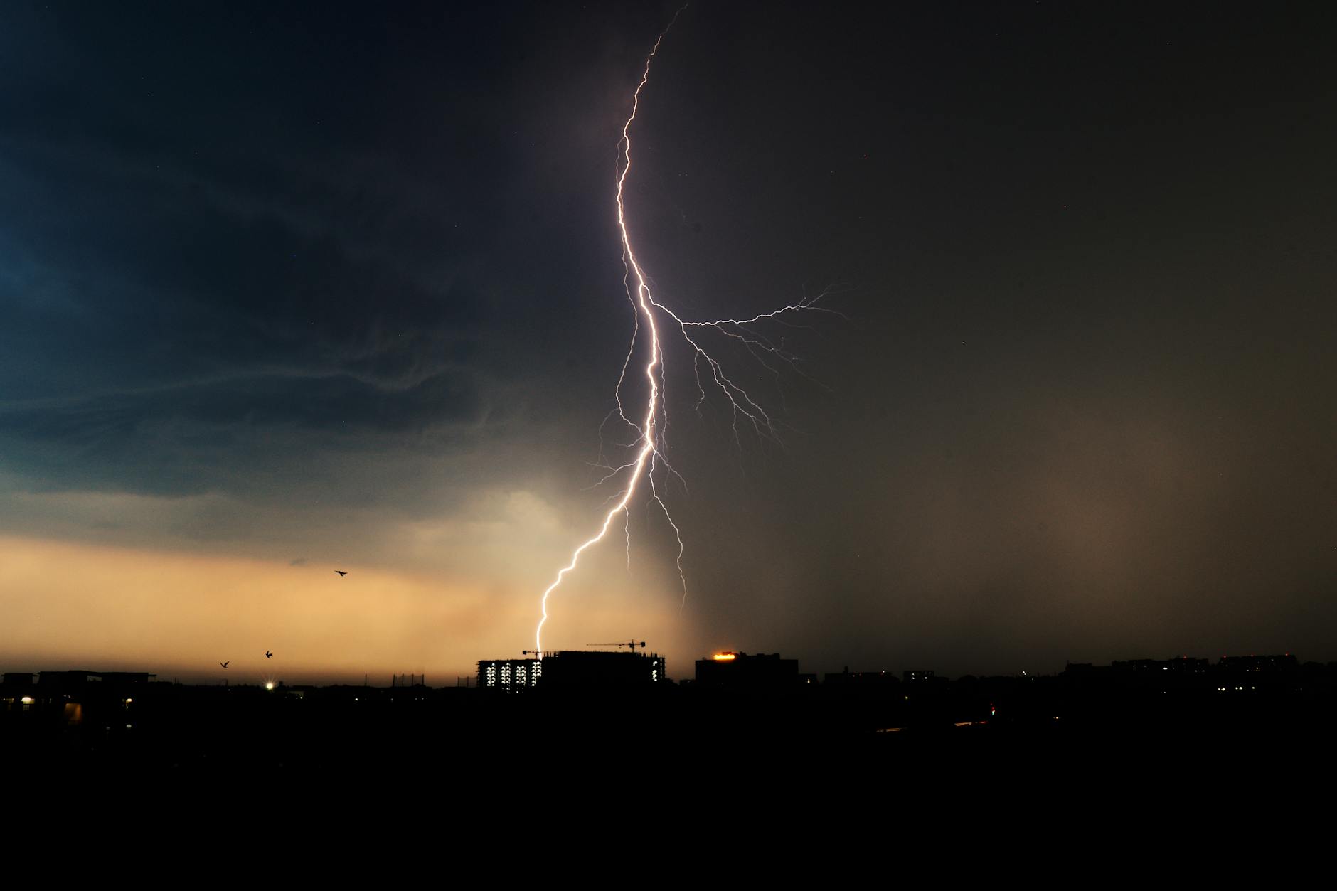
Spring in Michigan doesn’t ease you in gently. It arrives with a shove. One afternoon you’re watching crocuses push through mud, and the next you’re watching a shelf cloud eat the western horizon. If you’ve ever stood on your porch during a storm, squinting at a rotating cloud and wondering whether you should be filming it or running from it, the National Weather Service has a program designed exactly for people like you. (See also: Selfridge Air Show 2026 Canceled Due to Military Operations)
Free storm spotter training is coming to communities across Southeast Michigan this spring, and signing up might be the most genuinely useful thing you do all season. (See also: Google DTE Energy Data Center Deal Southeast Michigan)
What This Actually Is
The National Weather Service runs the SKYWARN Storm Spotter program nationally, training everyday volunteers to identify and report severe weather from the ground. These aren’t just curious hobbyists, though plenty of those show up too. Trained spotters serve as the eyes and ears the NWS can’t get from radar alone. Doppler can tell meteorologists that rotation exists inside a storm. A trained spotter on the ground can tell them whether that rotation has touched down, where it’s heading, and what it looks like right now.
The training is completely free. No background required. No equipment purchase necessary. You show up, you learn, you walk out as a certified SKYWARN spotter.
Sessions typically run about two hours and cover the kinds of things that turn a nervous storm-watcher into a confident one. Participants learn how thunderstorms form and what drives them, how to identify specific cloud formations that signal dangerous conditions, the difference between a wall cloud and a scud cloud (a distinction that matters more than you’d think), and how to communicate observations to the National Weather Service in a way that’s actually useful. You also learn the most critical piece of spotter wisdom: when to stay put and when to get inside and stop watching entirely.
Who Shows Up
Walk into one of these sessions and you’ll find a genuinely interesting cross-section of people. Amateur radio operators are a consistent presence, since many spotters relay information through ham radio networks when cell service gets overwhelmed during severe weather. Emergency management professionals come through for continuing education. School teachers show up wanting to bring the material back to their students. Farmers show up because weather is life and death for their operations. Retired folks show up because they’ve always been curious and finally have time to act on it.
And then there are the plain weather nerds, people who have been watching radar apps since middle school and want to formalize what they already know. This group tends to ask the best questions.
The common thread is caring about the place you live. Storm spotters form a community network that functions during the moments when official systems are most stretched. Detroit and its surrounding counties sit in a region that sees real severe weather pressure every spring and summer. Having trained observers spread across Oakland, Wayne, Macomb, Washtenaw, Monroe, and Lenawee counties means faster, more granular information flowing to forecasters who need it.
Why Spring 2026 Specifically
Michigan’s severe weather season typically peaks between April and June, with the window extending into July for the worst heat-driven storm events. After back-to-back years that brought significant tornado activity to the region, including confirmed tornadoes that touched down in areas people assumed were safe from that kind of weather, there’s a sharper awareness right now that the old assumptions don’t hold.
The Great Lakes moderate temperature extremes through much of the year, but they also generate unusual instability during transitional seasons. As warmer air masses push north earlier in the calendar, they collide with lingering cold air over and around the lakes. That collision zone produces the conditions that breed severe thunderstorms, damaging wind events, and yes, tornadoes.
Climate patterns have been shifting the timing and intensity of these events in ways that make ground-level observation more valuable, not less. Radar is better than ever. Satellite technology keeps improving. And the human on the ground, looking up at a specific storm over a specific neighborhood, still provides something no algorithm fully replicates.
Where and When to Go
The National Weather Service Detroit/Pontiac office coordinates SE Michigan training sessions, scheduling multiple sessions across the region each spring to give people options close to where they live. Sessions are held at community venues, libraries, fire stations, and municipal meeting rooms across the area.
To find the current schedule and register, go directly to the NWS Detroit/Pontiac website at weather.gov/dtx. The SKYWARN section of the site lists upcoming training dates, locations, times, and registration links. Because these sessions are free and the rooms have limited capacity, registration matters. Showing up without signing up might mean standing in the hallway or being turned away entirely.
If a session fills before you can register, check back. The NWS typically adds sessions when demand is high, particularly in March and April when spring severe weather awareness is peaking.
What You Walk Away With
After completing the training, you receive certification as a SKYWARN spotter. The NWS keeps a record of trained spotters in the region, and local emergency management offices often maintain their own contact lists as well.
Being certified means that when you call the local NWS office during a storm to report what you’re seeing, they know you’ve been trained. Your report gets weighted accordingly. You’re not just a random caller saying “it looks bad out here.” You’re someone who knows what a beaver’s tail looks like, who understands what forward flank and rear flank mean in relation to a supercell, who can tell them whether that lowering to the southwest has shown rotation.
Many spotters also connect with local emergency management networks and Community Emergency Response Teams. Some get involved with local amateur radio clubs that operate weather nets during severe weather watches and warnings. The training opens a door into a wider community of people who take preparedness seriously without taking themselves too seriously.
How to Actually Sign Up
Here’s the short version. Go to weather.gov/dtx and find the SKYWARN training section. Look for sessions labeled for Southeast Michigan counties. Click the registration link for whichever session works for your schedule and location. Fill in your information. Show up on time, because sessions start promptly and the first fifteen minutes cover foundational material you don’t want to miss. Bring a pen. The slides move fast and the information is dense in the best way.
You do not need to own a weather station, a ham radio, or any special equipment to participate. You do not need a meteorology background. You need two free hours and genuine curiosity about what’s happening in the sky above the place you call home.
The Bigger Picture
There’s something quietly civic about storm spotter training that fits Detroit’s particular spirit. This city has always operated on a culture of people who show up and do the work when it matters, not because someone told them to, but because they understand the stakes. Becoming a SKYWARN spotter is an extension of that same instinct applied to severe weather.
The National Weather Service doesn’t have the staff to watch every corner of an eight-county metro area during a fast-moving severe weather event. They rely on a network of trained volunteers who are already out in those neighborhoods, already watching the sky, already ready to pick up the phone and say precisely what they see.
This spring, that network has space for more people. The training is free. The time commitment is two hours. The payoff is a skill set you’ll use for the rest of your life every time a storm rolls in from the west and you look up and actually know what you’re looking at.
That’s a good deal by any measure.